
 Here are the details of maps for Llansamlet:

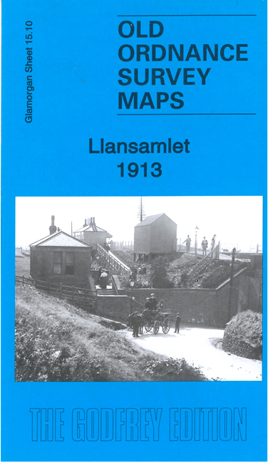
This busy and detailed map covers the eastern part of Morriston and the village of Llansamlet.
Features include St Samlet's church, Swansea Vale railway, Swansea District Line, Roundpit brickworks, Felin-newydd, Tir-canol, Tir-Penry, Morriston Branch with Morriston station, Midland tinplate works, Morriston tinplate works, Dyffryn tinplate works, Upper Forest tinplate works, Worcester tinplate works, etc. Several of these are unnamed on the map (because of WW1 security) but are fully explained in Steph Mastoris's introduction.
The map links up with sheets 15.09 Morriston to the west.