Old Ordnance Survey Maps of Glamorgan

  • These detailed maps normally cover an area of about one and a half miles by one mile. Each map includes an introduction.
  • They are available through our On-line Mapshop

  • Here are the details of maps for Clydach:

  • Glamorgan 15.02 Clydach 1935 - published 2024; intro by Steph Mastoris. ISBN.978-1-78721-731-7

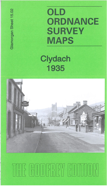
    This busy map gives detailed coverage of the industrial village of Clydach, north of Swansea.

    Features include railways, LMSR Morriston Branch with Clydach-on-Tawe station, GWR Clydach Pontardawe and Cwmgorse line, Swansea Canal, iron foundry, tin plate works, Quarr-Clydach, Aber-Clydach, Mount Pleasant, Nickel Works, Vardre, St John's church, industrial railways and sidings, River Tawe, etc.


  • Follow this link for a complete list of our Glamorgan maps. For other information and prices, and other areas, go to The Index Page.
  • Maps in the Godfrey Edition are taken from the 25 inch to the mile map and reduced to about 15 inches to the mile. For a full list of maps for Wales, return to the Wales page.
    The Godfrey Edition / sales@alangodfreymaps.co.uk / 9 July 2024