Old Ordnance Survey Maps of Glamorgan

  • These detailed maps normally cover an area of about one and a half miles by one mile. Each map includes an introduction.
  • They are available through our On-line Mapshop

  • Here are the details of maps for Gowerton:

  • Glamorgan Sheet 14.14 Gowerton 1913 - published 2025; intro by Steph Mastoris. ISBN.978-1-78721-844-4

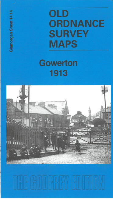
    This map gives detailed coverage of Gowerton. The railways form a major feature, with the GWR main line, the LNWR Penclawdd Branch and Swansea Line, two stations, and various industrial sidings. We include a 1906 directory of Gowerton on the reverse together with an essay on the history of Gowerton by Steph Mastoris.


  • Follow this link for a complete list of our Glamorgan maps. For other information and prices, and other areas, go to The Index Page.
  • Maps in the Godfrey Edition are taken from the 25 inch to the mile map and reduced to about 15 inches to the mile. For a full list of maps for Wales, return to the Wales page.
    The Godfrey Edition / sales@alangodfreymaps.co.uk / 24 February 2025