Glamorgan 08.12 Pontardawe 1913 - published 2026; intro by Steph Mastoris. ISBN.978-1-78721-937-3 
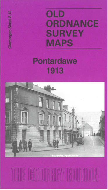
This map covers most of the town of Pontardawe and the area eastward to Cilybebyll.
Features include Midland Railway with Pontardawe station, Pontardawe Union Workhouse, Craig Llangiwg, St Peter's church, industrial tramways,
Craig-gelli-nedd, Cwm-nant-llwyd Colliery, Cilybebyll village, St John's church etc.
Follow this link for a complete list of our Glamorgan maps.
For other information and prices, and other areas, go to The Index Page.
Maps in the Godfrey Edition are taken from the 25 inch to the mile map and reduced to about 15 inches to the mile.
For a full list of maps for Wales, return to the Wales page.
The Godfrey Edition / sales@alangodfreymaps.co.uk / 12 February 2026

 Here are the details of maps for Pontardawe: