
 Here are the details of maps for St Andrews:

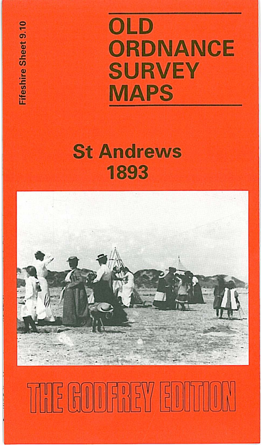
This very detailed map of St Andrews is double-sided for maximum coverage.
Sheet 9.10 covers the town centre with coverage stretching from City Road eastward to the shore, and from South Haugh northward to the Castle and Long Rocks. Features include the town centre, with individual buildings neatly shown; Madras College, St Mary's church, St Mary's College, College Church, South Street area, Market Street area, North Street area, Cathedral ruins, United College, harbour, Abbey Park etc.
On the reverse we include adjacent sheet 9.09 extending coverage westward to Balgove. Features here include Rathelpie, railway with station, St Andrew Links goods station, Strathtyrum Farm, Strathtyrum House, Royal & Ancient Golf Club etc.