
 Here are the details of maps for Sawbridgeworth:

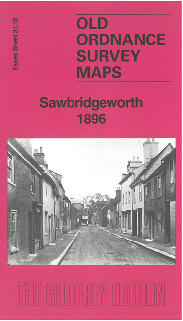
This map is split between Essex and Hertfordshire. Sawbridgeworth itself, which is shown in detail, is in Hertfordshire.
Features include Sawbridgeworth town centre, with individual buildings neatly shown, St Michael's church, Fairgreen House, Newtown, North End, Stort Navigation, malthouses, railway with station, Great Hyde Hall, Quickbury, Cowicks etc. We include a directory of Sawbridgeworth in 1895 together with a specially written introduction to the history of the town.
Maps in the Godfrey Edition are taken from the 25 inch to the mile map and reduced to about 15 inches to the mile. For a full list of maps for England, return to the England page.
Alan Godfrey Maps, Prospect Business Park, Leadgate, Consett, Co Durham, DH8 7PW / sales@alangodfreymaps.co.uk / 15 May 2025