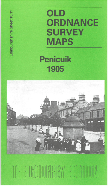
Edinburghshire Sheet 13.11 Penicuik 1905 - published 2024; intro by Alan Godfrey. ISBN.978-1-78721-768-3 
This detailed map covers the village of Penicuik, south of Edinburgh.
Features include Valleyfield Mills, Low Mill, Bank Mill, church, St Kentigern's church ruins, Telford Bridge, NBR Penicuik Branch with terminus,
NBR Peebles branch with Pomathorn station, Loanstone Gate House, etc. We also include a 1915 directory of Penicuik.
Follow this link for a complete list of our Edinburgh maps.
You can order maps direct from our On-line Mapshop.
For other information and prices, and other areas, go to The Index Page.
Maps in the Godfrey Edition are taken from the 25 inch to the mile map and reduced to about 15 inches to the mile.
For a full list of maps for Scotland, return to the Scotland page.
The Godfrey Edition / sales@alangodfreymaps.co.uk / 16 August 2024
 Here are the details of maps for Penicuik: