Old Ordnance Survey Maps of Edinburgh

  • These detailed maps normally cover an area of about one and a half miles by one mile. Each map includes an introduction.
  • They are available through our On-line Mapshop

  • Here are the details of maps for Duddingston:

  • Edinburghshire Sheet 4.09 Duddingston, Craigmillar & Niddrie 1906 - published 2024; intro by Alan Godfrey. ISBN.978-1-78721-744-7

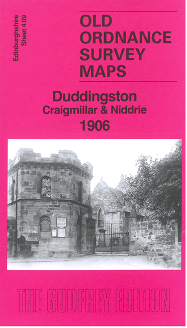
    This detailed map covers the area from Duddingston village eastward to Niddrie Mill and Jewel Cottages.

    Features include Duddingston House, Duddingston Loch, village with church, Cavalry Drill Ground, Peffermill, Pentland Brewery, Duddingston Brewery, Craigmillar Brewery, Castle Brewery, North British Brewery, railway with part of St Leonards Branch, Duddingston & Craigmillar Station, Craigmillar Creamery, Niddrie Mains, Niddrie House, etc.

    The map links up with Edinburgh Sheets 4.05 Portobello West to the north, 3.12 Newington & Grange to the west.


  • Follow this link for a complete list of our Edinburgh maps. For other information and prices, and other areas, go to The Index Page.
  • Maps in the Godfrey Edition are taken from the 25 inch to the mile map and reduced to about 15 inches to the mile. For a full list of maps for Scotland, return to the Scotland page.
    The Godfrey Edition / sales@alangodfreymaps.co.uk / 17 April 2024