Old Ordnance Survey Maps of County Durham

  • These detailed maps normally cover an area of about one and a half miles by one mile. Each map includes an introduction.
  • They are available through our On-line Mapshop

  • Here are the details of maps for Ferryhill Station:

  • Durham Sheet 35.14 Ferryhill Station 1915 - published 2022; intro by Alan Godfrey. ISBN.978-1-78721-524-5

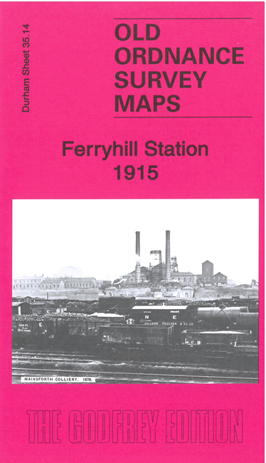
    This detailed map, which is double-sided for maximum coverage, covers the southern party of Ferryhill, especially the community of Ferryhill station which developed following the opening of the railway, and its adjacent village of Chilton Lane.

    Features include Ferryhill station, Mainsforth Colliery, Chilton Colliery, Little Chilton, Mainsforth Lime Works, etc. The introduction by Alan Godfrey explores the development of the area's railways and collieries, and the growth of Ferryhill Station, while also looking at the medieval history of Little Chilton.

    The map links up with sheets 35.10 Ferryhill to the north and 35.15 Bishop Middleham to the east.


  • Follow this link for a complete list of our Durham maps.
  • You can order maps direct from our On-line Mapshop. For other information and prices, and other areas, go to The Index Page.
  • Maps in the Godfrey Edition are taken from the 25 inch to the mile map and reduced to about 15 inches to the mile. For a full list of maps for England, return to the England page.
    Alan Godfrey Maps, Prospect Business Park, Leadgate, Consett, Co Durham, DH8 7PW / sales@alangodfreymaps.co.uk / 19 April 2022