Durham Sheet 35.05 Tudhoe Grange & Low Spennymoor 1915 - published 2022; intro by Anthea Lang. ISBN.978-1-78721-551-1
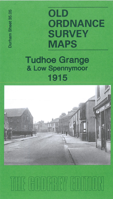
This detailed map covers the eastern part of Spennymoor, including Low Spennymoor.
Features include the large Tudhoe Iron Works, St Charles RC Church, Holy Innocents Church, Thinford Inn, etc
The map links up with sheets 34.08 Spennymoor to the west, 35.06 West Cornforth to the east and
35.09 Dean Bank to the south.
Follow this link for a complete list of our Durham maps.
For other information and prices, and other areas, go to The Index Page.
Maps in the Godfrey Edition are taken from the 25 inch to the mile map and reduced to about 15 inches to the mile.
For a full list of maps for England, return to the England page.
Alan Godfrey Maps, Prospect Business Park, Leadgate, Consett, Co Durham, DH8 7PW / sales@alangodfreymaps.co.uk / 10 August 2022

 Here are the details of maps for Low Spennymoor: