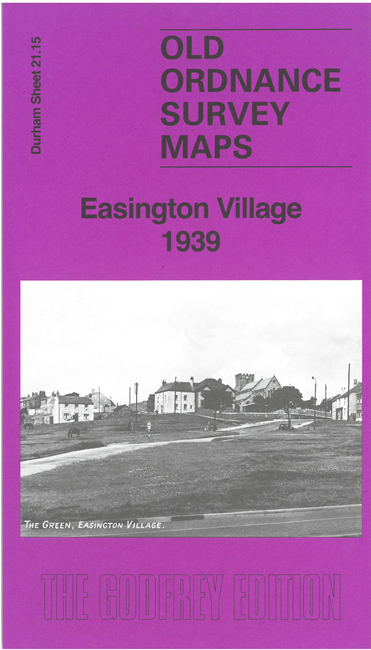
Co Durham Sheet 21.15 Easington Village 1939 - published 2026; intro by Alan Godfrey. ISBN.978-1-78721-975-5 
This detailed map is double-side for maximum coverage and gives good coverage of Easington Village.
Features include St Mary's church, The Green, Holmlands, Old Rectory, R D Council Offices, Public Assistance Institution (old workhouse), Moorfield greyhound stadium,
Aged Miners Homes, schools, Glenhurst Farm, Jackson's Mill, Little Thorpe, Thorpe Isolation Hospital, etc.
Follow this link for a complete list of our Durham maps.
For other information and prices, and other areas, go to The Index Page.
Maps in the Godfrey Edition are taken from the 25 inch to the mile map and reduced to about 15 inches to the mile.
For a full list of maps for England, return to the England page.
Alan Godfrey Maps, Prospect Business Park, Leadgate, Consett, Co Durham, DH8 7PW / sales@alangodfreymaps.co.uk / 8 May 2026
 Here are the details of maps for Easington Village: