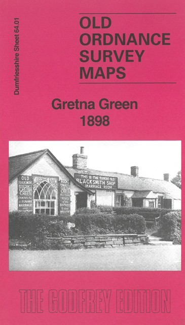
Dumfriesshire 64.01 Gretna Green 1898 - published 2025; intro by Sara Lee. ISBN.978-1-78721-927-4 
This map is double-sided for maximum coverage and gives detailed coverage of Gretna Green.
Features include Gretna Green, Gretna House, Gretna Hall, Headless Cross, Springfield, Glasgow & South Western Railway with station,
Caledonian Railway, Gretna Junction, River Sark, Pump Bridge.
Follow this link for a complete list of our Dumfries & Galloway maps.
For other information and prices, and other areas, go to The Index Page.
Maps in the Godfrey Edition are taken from the 25 inch to the mile map and reduced to about 15 inches to the mile.
For a full list of maps for Scotland, return to the Scotland page.
The Godfrey Edition / sales@alangodfreymaps.co.uk / 12 November 2025
 Here are the details of maps for Gretna Green