OLD D-DAY MAPS

The Bigot Plans

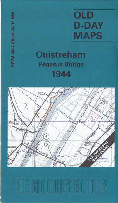
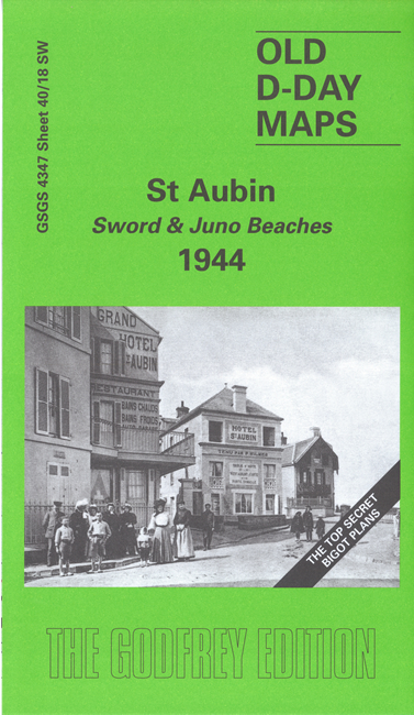
Never before reprinted, the Bigot Plans were prepared for the Allied Invasion in 1944, were classified Top Secret and issued under the highest level of "Need to Know". This small series of reprints are taken from the 1:25,000 maps and printed in colour, eg showing defences as Blue = confirmed, and Purple = not confirmed. They were catalogued under GSGS (Geographical Section General Staff) series 4347. We have published three of these maps, covering important areas of the D Day landings.


  • 40/16 NW Ouistreham - Pegasus Bridge 1944 - publ 2004, intro by Tony Painter. ISBN 978-1-84151-653-0
  • This map covers the area around the bridge that is now known as Pegasus Bridge. It was the scene of the heroic glider landings that have been called "the greatest feat of flying of WWII". The map is double-sided and covers the area from Ouistreham in the north, southward to Herouvillette, and westward to Cazelle.

  • 34/18 NE St Pierre du Mont - Omaha Beach 1944 - publ 2004, intro by Tony Rosser. ISBN 978-1-84151-625-7
  • This map covers the coastal area around Pointe du Hoc and Vierville-sur-Mer, where much of the Omaha Beach landings took place. On the reverse we include the Defence Legend, showing the various cartographic symbols used.

  • 40/18 SW St Aubin - Sword & Juno Beaches - publ 2004, intro by Tony Painter. ISBN 978-1-84151-692-9
  • Covers the area north of the Ouistreham map including St Aubin, and Langrune-sur-mer, including parts of the landing areas known as Juno and Sword.

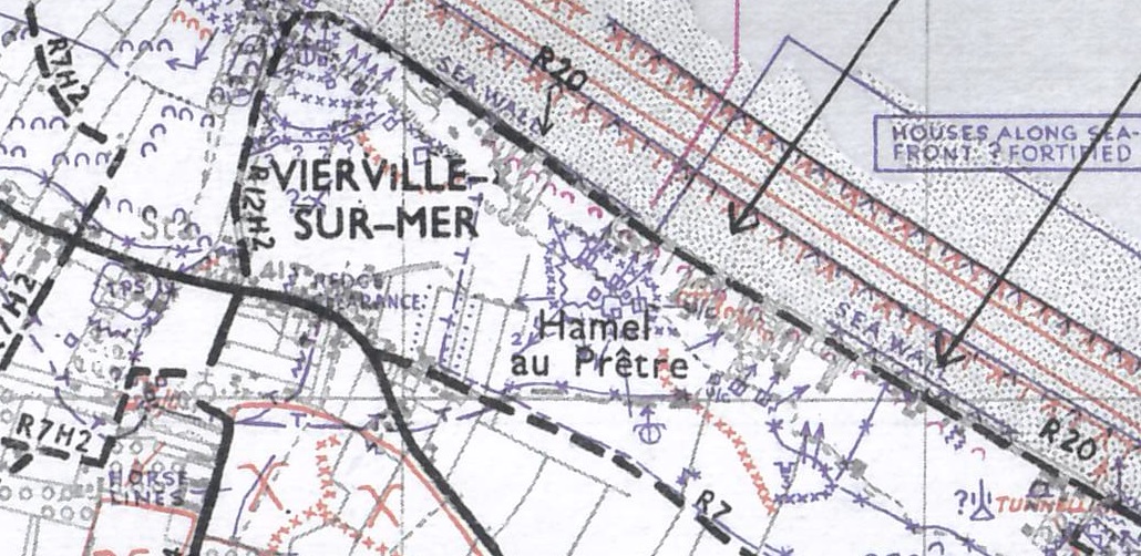
    The D-Day maps are meticulously scanned and colour-printed. Here is a very small extract.


  • For a full list of our maps, return to the Index page

  • You can order maps direct from our On-line Mapshop.
    Alan Godfrey Maps, Prospect Business Park, Leadgate, Consett, DH8 7PW. Tel 01207 583388
    The Godfrey Edition / sales@alangodfreymaps.co.uk / 16 January 2020