Old Ordnance Survey Maps of Derbyshire

  • These detailed maps normally cover an area of about one and a half miles by one mile. Each map includes an introduction.
  • They are available through our On-line Mapshop

  • Here are the details of maps for Butterley:

  • Derbyshire Sheet 40.07 Butterley & North Ripley 1898 - published 2019; intro by Barrie Trinder. ISBN.978-1-78721-206-0

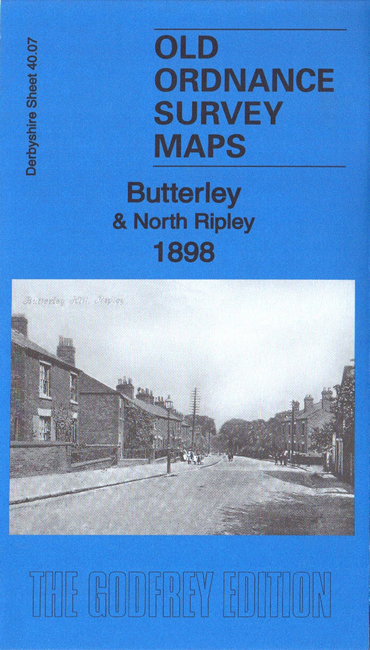
    This detailed map covers Butterlrey and the northern part of Ripley itself.

    Major features include the Butterley Works and its various railway and tramway connections. Other features include Butterley Grange, Butterley Hall, Butterley Farm, Hammersmith, the northern part of Ripley, Greenwich House, Butterleyfields, Egerton Mill, Pentrich Colliery, Midland Railway Ambergate & Pye Bridge line with Butterley station, Britain Pit, Brand's Colliery, Western Pit, Swanwick Junction, route of Cromford Canal underground, Padley Hall etc. The map covers an area of major industrial importance.

    The map links up with sheet 40.08 Ironville to the east and 40.11 Ripley to the south.


  • Follow this link for a list of our maps for Derbyshire.
  • You can order maps direct from our On-line Mapshop. For other information and prices, and other areas, go to The Index Page.
  • Maps in the Godfrey Edition are taken from the 25 inch to the mile map and reduced to about 15 inches to the mile. For a full list of maps for England, return to the England page.
    Alan Godfrey Maps, Prospect Business Park, Leadgate, Consett, Co Durham, DH8 7PW / sales@alangodfreymaps.co.uk / 26 January 2019