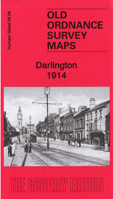
 Here are the details of maps for central Darlington:

We have published two versions of this map, showing how the area changed across the years. The maps cover the centre of the town, with coverage stretching from the Market Place northward to North Road station; St Andrews church at Haughton le Skerne is in the top right corner. The main NER railway runs north-south through the centre of the map.
Features include engine shed and railway approaches, Parkgate Junction, the busy junction and railway crossing, Darlington Forge, Darlington Steel & Iron Works, Skerne Iron & Steel Works, Alliance Works, all with their railway sidings and connections; Haughton Road Brewery, NER Fighting Cocks Loop Line, St James church, Borough Hospital, Albert Hill, St Cuthbert's church, Priestgate Works, Bondgate, High Row, Blackwellgate, Skinnergate, Parkgate, Northgate, Hope Town Lane, tramways, Town Hall, Hopetown goods station etc
The maps link up with Sheet 55.02 Darlington North to the north, 55.05 Darlington West to the west and 55.10 Darlington South to the south.