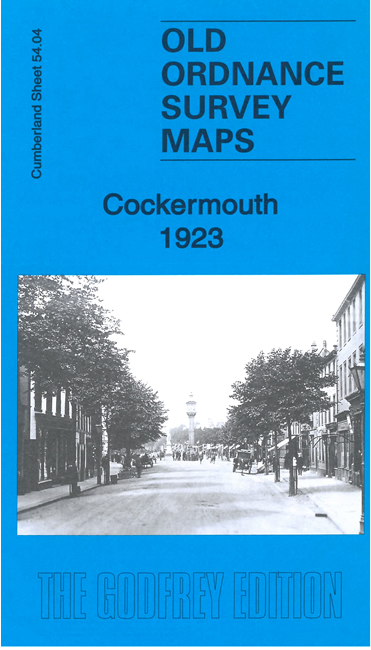
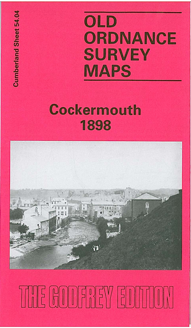
 Here are the details of maps for Cockermouth:

We have published two versions of this map, showing how the area changed across the years. The maps are double-sided for maximum coverage.
The maps cover the town centre, with coverage extending northward to Belle Vue and Hamesbottom Wood, and from Derwent Lodge and The Fitz eastward to St Helen's Tannery.
Features include Hames Hall, Goatmill Bridge, Derwent Mills, River Derwent, Cockermouth Castle, Goat area, Fitz Mill, town centre with individual buildings neatly shown, Agricultural Hall, railway with goods station, Workhouse, Main Street area, All Saints church, Drill Hall, Castle Brewery etc.
On the reverse of each map we include part of adjacent sheet 54.08 extending coverage southward to include railway station, Atlas Works, cemetery, Tanneries, Double Mills, golf course, Rubbybanks Mill, The Moor, River Cocker.