
 Here are the details of maps for central; Bolton:

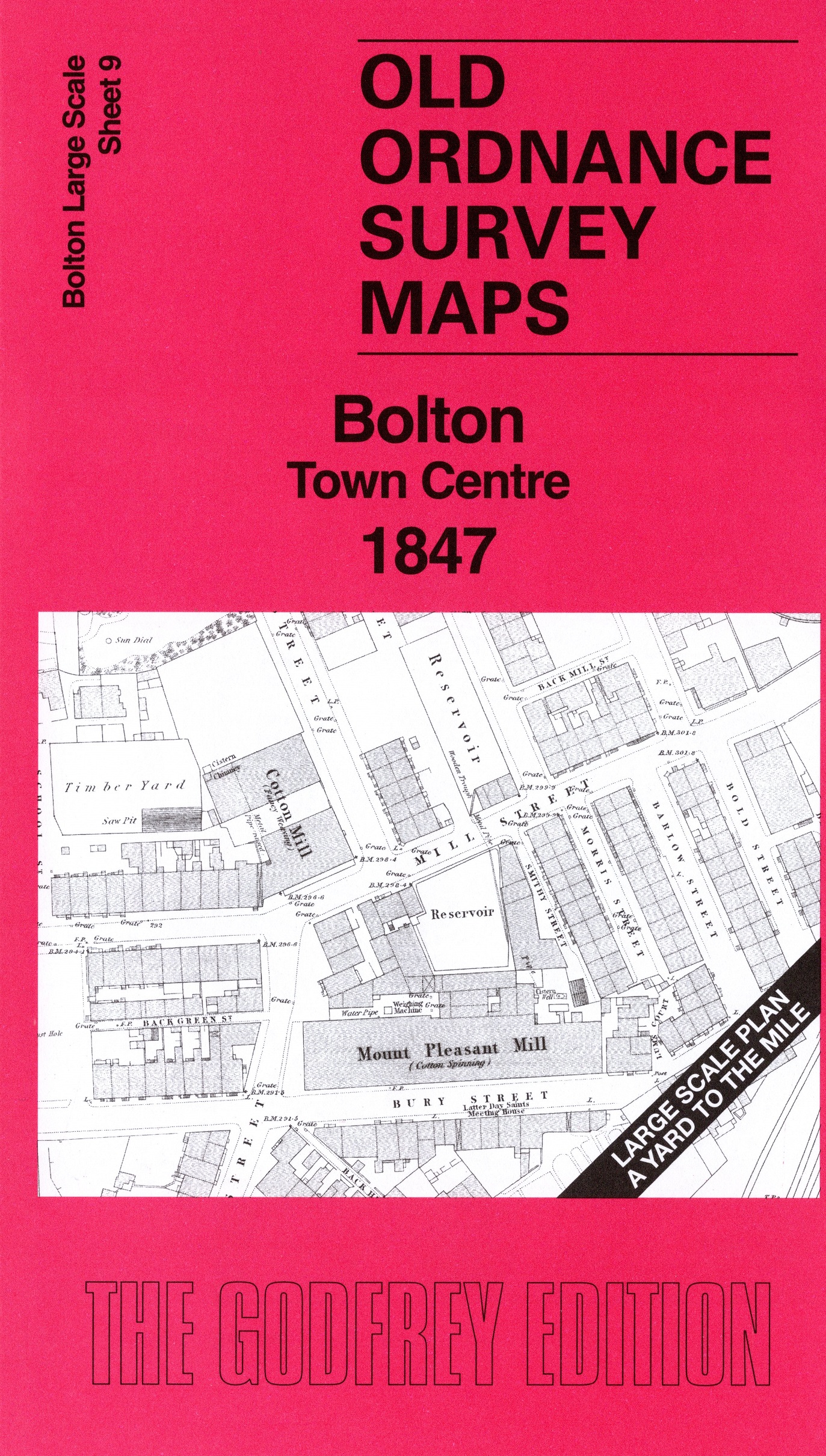
This very detailed map covers a major area of Bolton, including St Peter's church, Bank Street, Bradshawgate, Churchgate, River Croal, Nelson Square, All Saints church, Silverwell House, Mount Pleasant Mill, Mill Hill Mill, Lane End, old Town Hall, railways, Manchester Bolton & Bury Canal, etc.
On the reverse we include 10 foot to the mile sheet 87.13.10 covering the St Peter's Church area in 1890 together with a 2,000 word introduction to the history of the area.
The map links up with sheet 8 Bolton Deansgate to the west and 13 Bolton Trinity Street to the south.