

 Here are the details of maps for Todmorden:

We are publishing two maps for Todmorden.
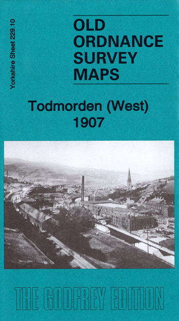
The Todmorden West map covers the western part of this town, much of which was originally in Lancashire. Features include railway with station, Todmorden Hall, Waterside Mill, Victoria Iron Works, Salford Mills, Wadsworth Mill, Dobroyd Castle, Unitarian Chapel, Centre Vale, Christ Church, St Mary's church, Ferney Mill, Adamroyd Mill, Edge End,Sourhall Joint Hospital, etc.
The Todmorden East map includes the famous Town Hall, the Market Hall, Stansfield Hall and the eastern part of the town centre, with cverage then extending eastward to Cross Stone, Millwood, Priestwell, Lower Kilnhurst, Old Royd, Lumbutts, Lobb Mill, Rodwell End, with part of Mankinholes in the SE corner. A fascination of this map is the many old tracks, often named, presumably packhorse roads, making this map an ideal companion for a good walk.
You can order maps direct from our On-line Mapshop. For other information and prices, and other areas, go to The Index Page.
Maps in the Godfrey Edition are taken from the 25 inch to the mile map and reduced to about 15 inches to the mile. Follow this link for a complete list of our Calderdale maps; or here for the whole Yorkshire series.
Alan Godfrey Maps, Prospect Business Park, Leadgate, Consett, Co Durham, DH8 7PW / sales@alangodfreymaps.co.uk / 19 October 2019