 Here are the details of maps for Central and NE Leeds:


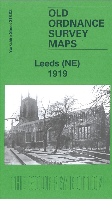
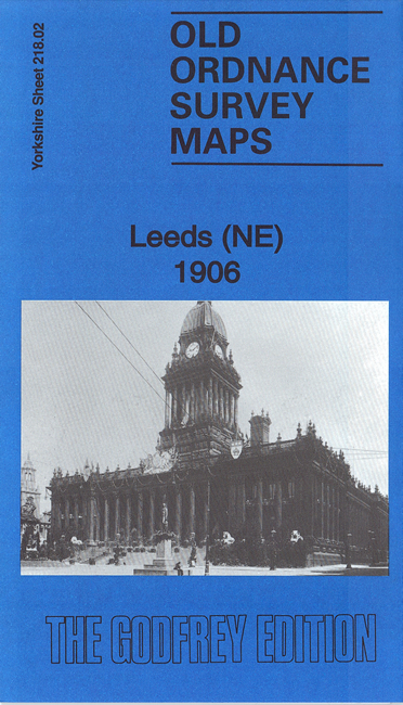
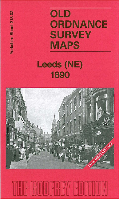
We have published three versions of this map, showing how the area changed across the years. They capture much of central Leeds - together with the Burmantofts and Sheepscar areas - in great detail, with individual houses clearly delineated, street names given, tramways shown, banks, theatres, almshouses, schools etc all marked and even Leeds' famous arcades shown with cross-hatching. The 1890 version is colour-printed, taken from the beautiful handcoloured OS 1st Edition. The maps cover the same area; we are now calling them Leeds NE as we feel that with the NW, SW and SE sheets it gives full coverage of the central area of Leeds. The 1906 version will be renamed Leeds (NE) when it is next reprinted.
Coverage stretches from the Town Hall eastward to Stoney Rock Lane and Leeds Cemetery, and from Bond Street and Commercial Street northward to New Camp Road and Chapeltown Barracks. Major streets near the centre include East Parade, Park Lane, Park Row, Briggate, Vicar Lane, North Street. Kirkgate Market is at the very foot of the map. Though a city centre map, the overriding impression is of street after street of cramped housing, mnuch of it back-to-back. Areas noted include Little London, The Leylands, Mawson Field, Bagby Fields (top left corner), Mabgate, Sheepscar, New Town, Primrose Hill, Burmantofts. Features include St Mary's church, Leeds Union Workhouse, St John's church, Elmwood Mills, St Ann's RC Cathedral, Burmantofts Brick Works, Burmantofts terra cotta Works, Stanley Road tram depot, Sheepscar Dye Works. Part of Marsh Lane Goods Station is at the foot of the map but most railways are south of this sheet. On the reverse of each map we include a selection of street directory entries.
The map links up with Sheets 203.14 Leeds Harehills to the north, 218.01 NW Leeds to the west, 218.03 East Leeds to the east and 218.06 South Leeds to the south.