Old Ordnance Survey Maps of Bradford

  • These detailed maps normally cover an area of about one and a half miles by one mile. Each map includes an introduction.
  • They are available through our On-line Mapshop

  • Here are the details of maps for Ilkley:

  • Yorkshire Sheet 169.14 Ilkley (North) 1889 - published 2022; intro by Alan Godfrey. ISBN.978-1-78721-577-1
  • Yorkshire Sheet 186.02 Ilkley (South) 1889 - published 2022; intro by Alan Godfrey. ISBN.978-1-78721-578-8

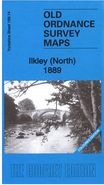
    We have published two maps for Ilkley. They link up with each other to provide excellent coverage of the town. Each is in full colour, taken from the beautiful 1st edition OS handcoloured maps

    The Ilkley North map includes Ilkley Bridge, All Saints church, Middleton Hotel, Church Street area, Myddelton Lodge, St Mary's RC Chapel, Low Hall, River Aire, cemetery etc.

    The Ilkley South map includes railway and station, engine shed, Wells House, Ilkley College, St Margaret's church, Hospital, Barmishaw Hole, Troutbeck, Semon Convalescent Home, Craiglands, Stoney Lea, Ilkley Crags, Lady Stones, Willy Hallis Spout, The Spa, many villas etc


  • Follow this link for a complete list of our Bradford area maps; or here for the whole Yorkshire series. For other information and prices, and other areas, go to The Index Page.
  • Most maps in the Godfrey Edition are taken from the 25 inch to the mile map and reduced to about 15 inches to the mile.
    For a full list of maps for England, return to the England page.
    Alan Godfrey Maps, Prospect Business Park, Leadgate, Consett, Co Durham, DH8 7PW / sales@alangodfreymaps.co.uk / 6 September 2022