
Old Ordnance Survey Maps of Teesside
These detailed maps normally cover an area of about one and a half miles by one mile. Each map includes an introduction.
They are available through our On-line Mapshop
 Here are the details of maps for Thornaby Mandale and Erimus:
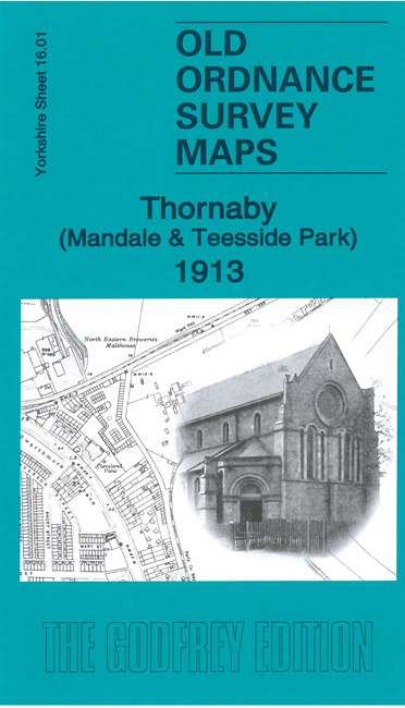
Sheet 16.01 Thornaby (Mandale & Teesside Park) 1913 - published 2021; intro by Alan Godfrey. ISBN.978-1-78721-423-1 
This detailed map covers the eastern area of Thornaby, part of which is now covered by the Teesside Park retail centre.
The main features on the map are Stockton Racecourse and the former loop of the River Tees, including the Erimus hamlet. The map is double-sided with coverage extending north
to include the railway and River Tees.
The map links up with sheet 15.04 Thornaby & Stockton to the west and 16.02 Linthorpe to the east.
For other information and prices, and other areas, go to The Index Page
Maps in the Godfrey Edition are taken from the 25 inch to the mile map and reduced to about 15 inches to the mile.
Follow this link for a complete list of our Teesside maps; or here Stockton
for a full list of our Stockton maps.
Alan Godfrey Maps, Prospect Business Park, Leadgate, Consett, Co Durham, DH8 7PW / sales@alangodfreymaps.co.uk / 25 March 2025
 Here are the details of maps for Thornaby Mandale and Erimus: