Old Ordnance Survey Maps of Worcestershire

  • These detailed maps normally cover an area of about one and a half miles by one mile. Each map includes an introduction.
  • They are available through our On-line Mapshop

  • Here are the details of maps for Alvechurch:

  • Worcestershire 16.11 Alvechurch 1903 - published 2023; intro by Alan Godfrey. ISBN.978-1-78721-612-9

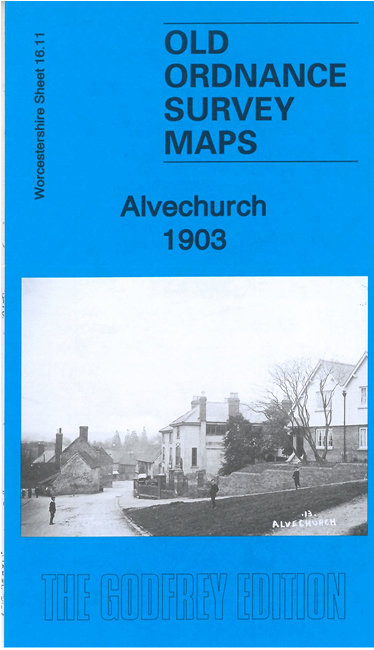
    This map gives excellent coverage of the village of Alvechurch.

    Features include village centre with individual buildings neatly shown. St Lawrence's church, Corn Mill, site of Bishop's Palace, Lye Bridge, Alvechurch Lodge, High House Farm, Worcester & Birmingham Canal, railway with station, Wuthybed Green, Scarfields Farm etc

    The map includes an introduction to the history of the area, together with extracts from an 1896 directory.

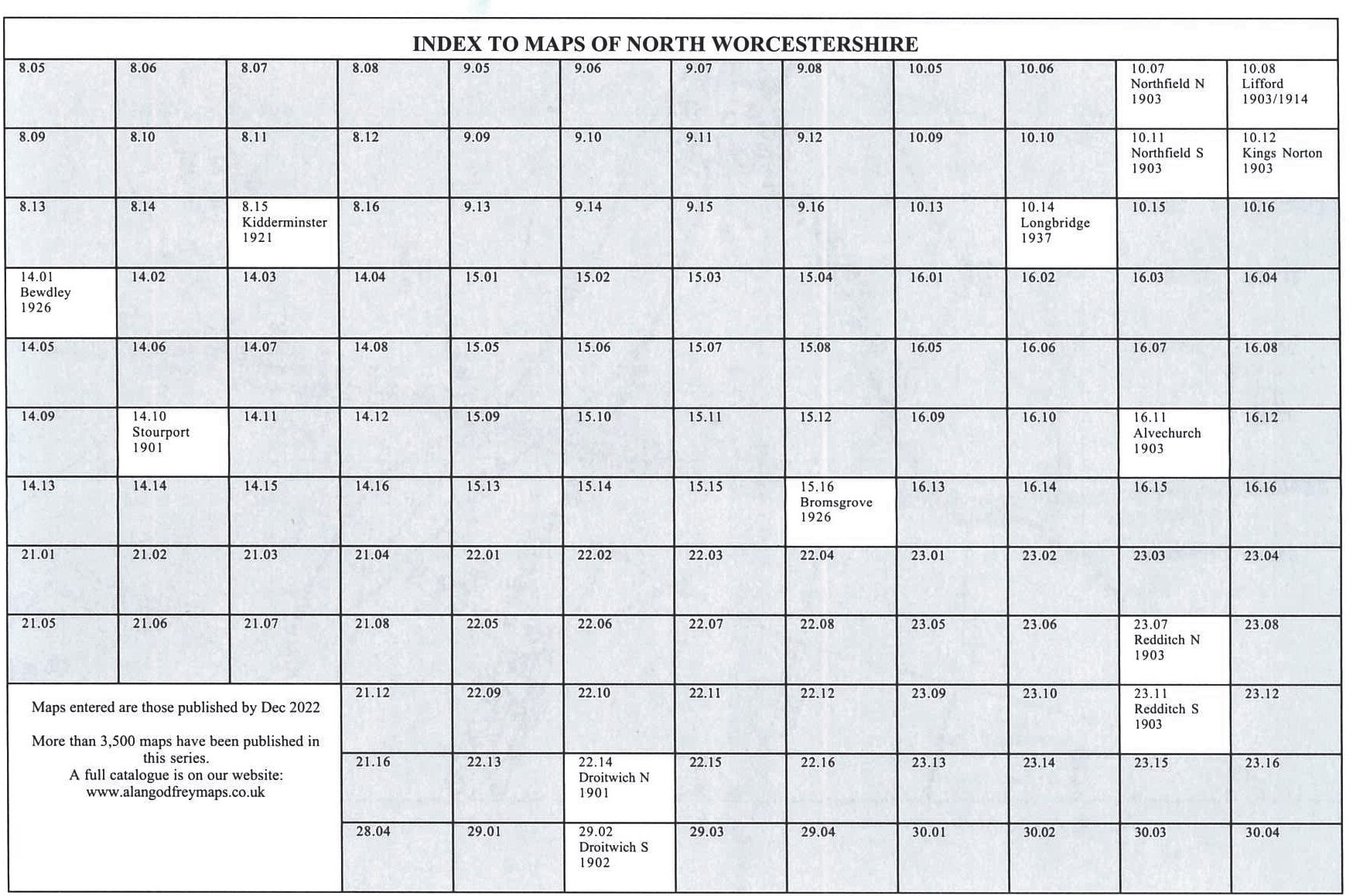
    You might find this Index Map useful.


  • For other information on the series see Index Page.
  • Maps in the Godfrey Edition are taken from the 25 inch to the mile map and reduced to about 15 inches to the mile. For a full list of maps for the area, return to the Worcestershire page or West Midlands page.
    The Godfrey Edition / sales@alangodfreymaps.co.uk / 29 December 2022