
 Here are the details of maps for Chippenham and Lacock:

Chippenham is covered by two maps, with two versions of each, showing how the town developed across the years.
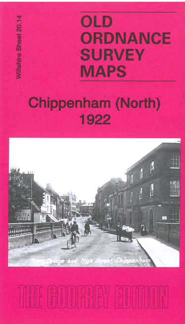
Sheet 20.14 covers the centre and northern part of Chippenham, with coverage stretching from the Market Place northward to Hardenhuish House, and from The Folly eastward to Cocklebury Farm. Features include St Andrew's church, The Ivy, Lowden Hill, High Street area, Monkton House, Condensed Milk Factory, railway with station, engine shed, Railway Signal Works, Bacon Factory, Landsend area, Langley Burrell Within parish, St Paul's church, The Hamlet area, Cocklebury Farm, Pew Hill, Woodlands area, Lowden Farm, Greenway Lane Farm, Hardenhuish House and Park, St Nicholas church etc.
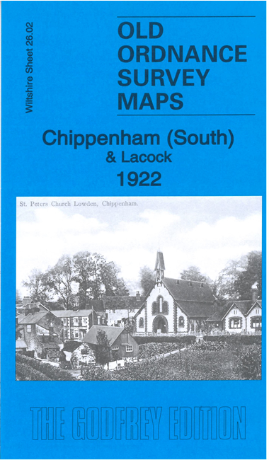
Sheet 26.02 covers the southern part of Chippenham, with coverage stretching from the Market Place southward to Rowden Farm and Patterdown Farm. Features include The Causeway area, cottage hospital, Cloth Factory and Tannery, Wilts & Berks Canal (Chippenham Branch), Rooks Nest Farm, Westmead, Englands, Rowden Farm, Friends Burial Ground, Milbourne Farm, Rowden Down, Patterdown, Chippenham Workhouse, Lowden, St Peter's Mission Church, Rowden Hill House etc.
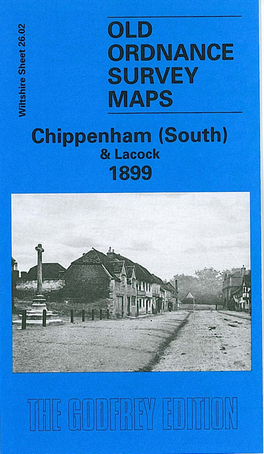
On the reverse of 26.02 we include a map of Lacock, showing Lacock Abbey, St Cyriac's church, Rey Bridge, High Street area with all buildings shown, Arnold's Mill, Bewley Court Farm, Bewley Green etc.
Each map includes a specially written introduction to the history of the area.