
 Here are the details of maps for Willesden:

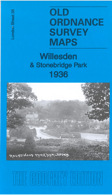
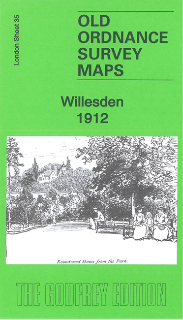
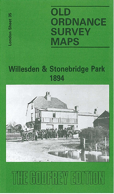
We have published three versions of this map, showing how the area changed across the years. It includes the Church End area of Willesden, much of Harlesden to the south, and the newly built Stonebridge Park.
Features (from the 1912 version) include St Mary's church, Church End, tramway, Chapel End, part of Willesden Green, St Andrew's church, Passmore Edwards Hospital, Roundwood Park, Roundwood House, convent, cemetery, Jews Cemetery, St Cecilia's church, Acton Branch railway, etc
The map links up with London Sheets 25 Neasden to the north, 36 Willesden Green to the east, 46 Willesden Junction to the south; and with Middlesex sheet 16.01 Alperton to the west.
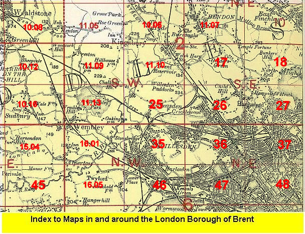 Follow this link for a list of our maps for the London Borough of Brent, or here for a complete list of our London maps .