Old Ordnance Survey Maps of Birmingham

  • These detailed maps normally cover an area of about one and a half miles by one mile. Each map includes an introduction.
  • They are available through our On-line Mapshop

  • Here are the details of maps for Sparkhill, Greet and Tyseley:

  • Warwicks 14.14a Sparkhill & Greet 1887 - published 2020; intro by Barrie Trinder. ISBN.978-1-78721-347-0
  • Warwicks 14.14b Sparkhill & Greet 1903 - published 2003; intro by Alan Godfrey. ISBN.978-0-84151-559-5
  • Warwicks 14.14c Sparkhill & Greet 1913 - published 2017; intro by Mike Jee. ISBN.978-1-78721-092-9
  • Warwicks 14.14d Sparkhill & Greet 1938 - published 2020; intro by Barrie Trinder. ISBN.978-1-78721-348-7

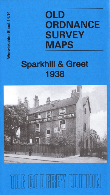
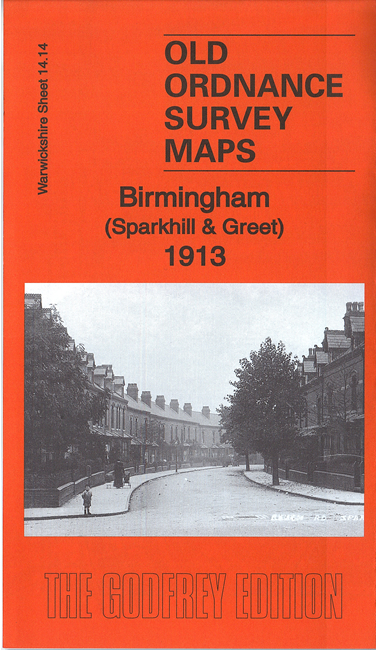
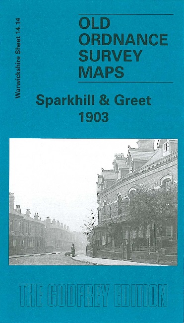
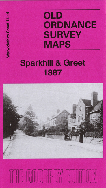
    We have published four versions of this map, showing how the area changed across the years. They cover the eastern area of Birmingham around Sparkhill and Greet. Coverage stretches from Stoney Lane eastward to Knights Lane, and from Gough Road southward to Woodlands Road. The Warwick Road and Stratford Road run through the map, which also includes Showell Green.

    Features include Premier Works, tramways, Burbury Brick Works, fireworks factories, River Cole, Greet Brick Works, Showell Green House, St John's church, streets of terraced housing around Sparkhill, Greet Bridge, Tyseley Brick Works, Greetmill Hill Farm, schools etc.

    Please note: The 1938 version does not include railway information as this and some other revision material had been lost, presumably due to bomb damage in the war.

    The map links up with sheets 14.10 Small Heath to the north, 14.13 Moseley to the west, 14.15 Acocks Green to the east and Worcestershire sheet 11.02 Hall Green to the south.


  • For a full list of maps of Warwickshire, please go to the Birmingham page or (for areas outside Birmingham) to the Warwickshire page.
  • You can order maps direct from our On-line Mapshop. For other information and prices, and other areas, go to The Index Page
  • Maps in the Godfrey Edition are taken from the 25 inch to the mile map and reduced to about 15 inches to the mile. For a full list of maps for England, return to the England page.
    Alan Godfrey Maps, Prospect Business Park, Leadgate, Consett, Co Durham, DH8 7PW / sales@alangodfreymaps.co.uk / 12 August 2020