 Here are the details of maps for Chesterton:

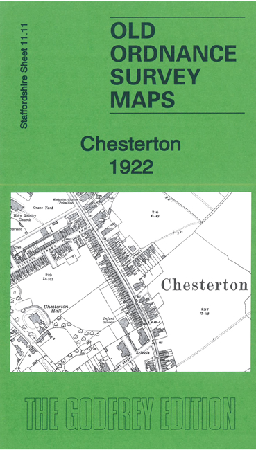
This detailed map covers the large village of Chesterton, west of Burslem, and extends west to Apedale Colliery. Features include Chesteron village with individual buildings neatly shown, Church Fields, Chesterton Hall, Holy Trinity church, Chesterton Tileries, New Rose Vale Brickworks, North Staffordshire Brick & Tile Works, New Hem Heath colliery (disused), Hope Foundry, Acme Tileries, Apedale Colliery Forge Pit, NSR Chesterton Branch, mineral railways, Burley Pit, Chemical Works,northern fringe of Apedale Ironworks, etc.
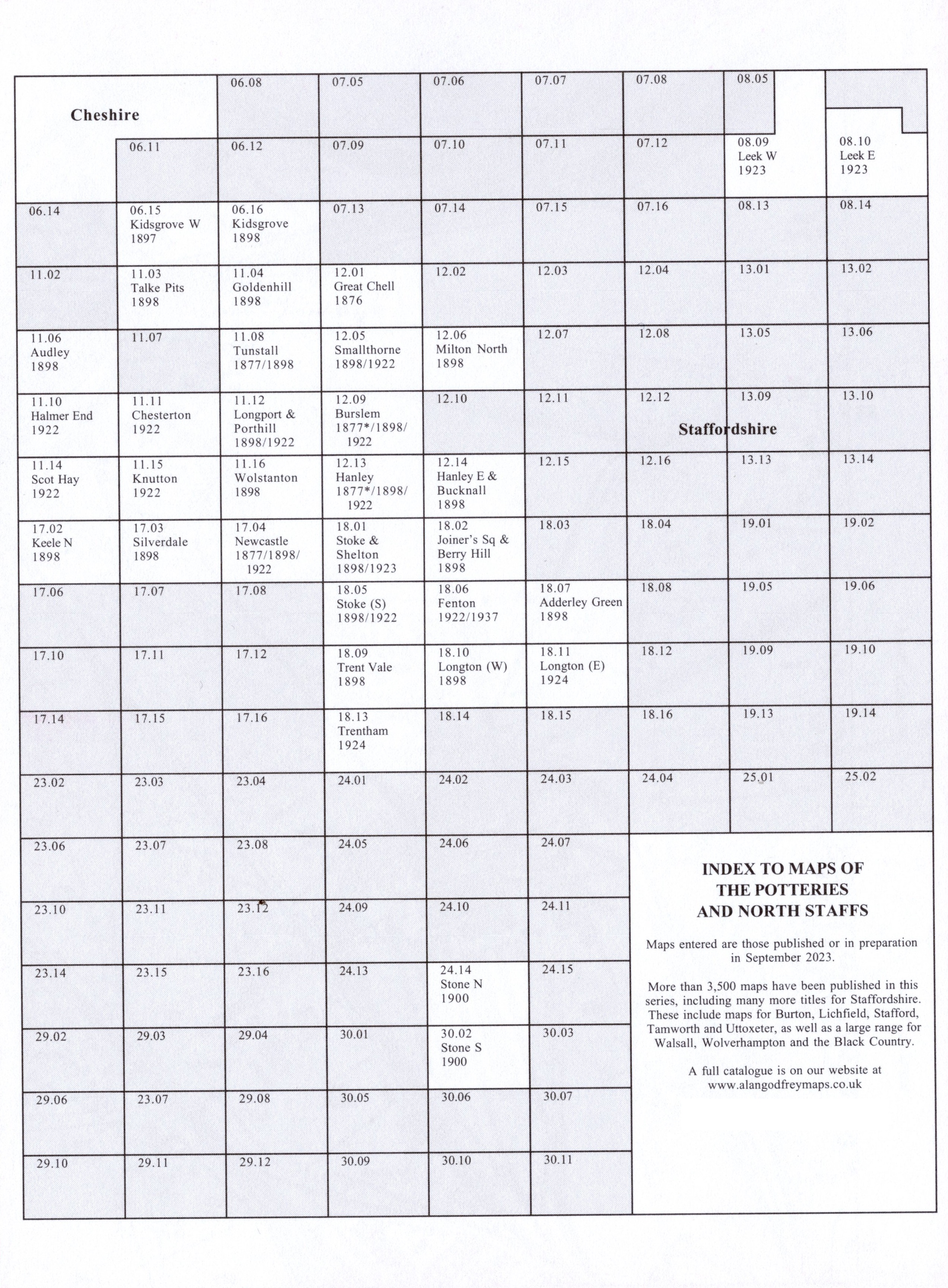
The map links up with Staffordshire Sheets 11.10 Halmer End to the west, 11.15 Knutton to the south and 11.12 Longport to the east.
You might find this Index Map useful.