Notts Sheet 23.09 Mansfield Woodhouse 1914 - published 2021; intro by Barrie Trinder. ISBN.978-1-78721-476-7 
This detailed map covers Mansfield Woodhouse, just N of Mansfield itself, and the rural area to the east.
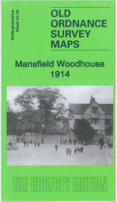
Features include St Edmund's church, High Street area, Woodhouse Castle, Clerkson's Hall, part of Sherwood Colliery,
railway approaches (but not station), Woodhouse Place, Rushpool Farm, etc. An 1891 directory of Mansfield Woodhouse is included on the reverse.
The map links up with sheet 23.13 Mansfield East to the south.
Follow this link for a complete list of our Nottinghamshire Series maps.
You can order maps direct from our On-line Mapshop.
For other information and prices, and other areas, go to The Index Page.
Maps in the Godfrey Edition are taken from the 25 inch to the mile map and reduced to about 15 inches to the mile.
For a full list of maps for the East Midlands, return to the East Midlands page.
The Godfrey Edition / sales@alangodfreymaps.co.uk / 14 June 2021

 Here are the details of maps for Mansfield Woodhouse: