
 Here are the details of maps for Greenford (North):

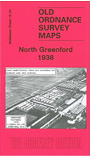
This detailed map covers the northern part of Greenford, with coverage stretching from Court Farm Road eastward to Elton Avenue, and from Clare Road southward to Daryngton Drive. Lyons confectionery works is in the centre of the map and other features include Greenford and Northolt stations, Oldfield Farm, Grand Union Canal, Aladdin Building, Laboratories, St Mary's church Northolt, Load of Hay pub, Porcelain Baths Works, etc. On the reverse we include a Northolt directory and a Greenford directory, entries A-C.
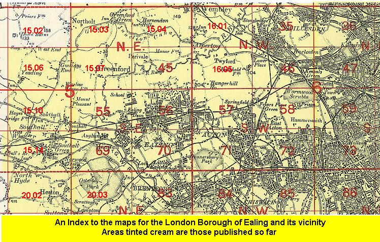
The map links up with Middlesex Sheets 10.15 South Harrow to the north, 15.02 Northolt to the west, 15.04 North Perivale to the east, 15.07 Greenford to the south.
 Follow this link for a list of our maps for the London Borough of Ealing, or here for a complete list of our London maps .