
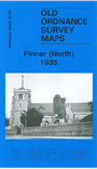
 Here are the details of maps for Pinner (North):

This detailed map covers the northern half of Pinner, with coverage stretching from the parish church northward to Hillside Road and Pinnerwood Park, and from Hazlewood Drive eastward to Anselm Road.
Features include the Pinner Green, Pinnerwood Park and Woodridings areas; St John the Baptist church (at foot of map), Little Common, U.F.Church, cemetery, East End, Pinnerhill Farm, The Old Hall, Grim's Ditch, Woodridings Farm. The map is principally of a residential area, with all houses neatly shown. On the reverse we include a list of private residents from 1890 and 1933 directories.
The map links up with Middlesex Sheets 10.01 Northwood Hills to the west, 10.03 Wealdstone to the east and 10.06 Pinner South to the south.
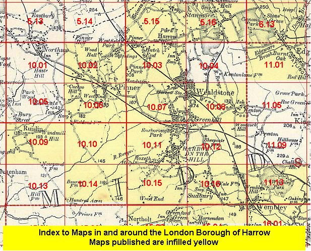 Follow this link for a list of our maps for the London Borough of Harrow, or here for a complete list of our London maps .