
 Here are the details of the map for the Albert Hall area:

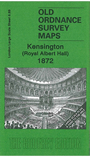
This very detailed map covers the area of Kensington from the Royal Albert Hall westward to Kensington House, with part of Kensington Palace in the top left corner. Features include the Albert Memorial, the northern half of the Royal Horticultural Society Gardens, shown in some detail, Riding School, Lytham House, Kensington Gate, Upper Gore etc. On the reverse we include a selection of street directory entries, including Kensington Road.
The map links up with sheet 6.88 High St Kensington to the west, 6.90 Knightsbridge to the east, and 6.99 Gloucester Road to the south.