
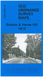
 Here are the details of maps for Brixton:
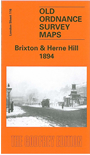

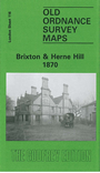
We have published three versions of this map, showing how the area developed across the years. The maps each cover the same area, stretching from Branksome Road and Strathleven Road eastward to Beckwith Road, and from Pulross Road and Brixton station southward to Brixton prison. The left half of the map comprises Brixton, with Brixton Hill running north-south through the map. Further east is Herne Hill, and Herne Hill itself runs northward through the map, lined with villas, many in grounds. Also crossing the map are railways, with Herne Hill station near the foot. Other features include Helix Gardens, Effra Road, Atlantic Road, Mayall Road, Railton Road, Coldharbour Lane, Loughborough Park, St Matthew's church, Brixton Hall, Lambeth Water Works, beer bottling works, Lowden Road, Brockwell Hall, north part of Brockwell Park, St Jude's church, Casino House, Loughborough Park station. Prison is blank on 1894 map but depicted on 1870 version.
The maps have directory extracts on the reverse; 1894 map has street entries for Atlantic Road, The Avenue, Brixton Hill, Railton Road; 1913 version has street directory entries for Acre Lane, Coldharbour Lane, Effra Road, Fawnbrake Avenue, Railton Road.
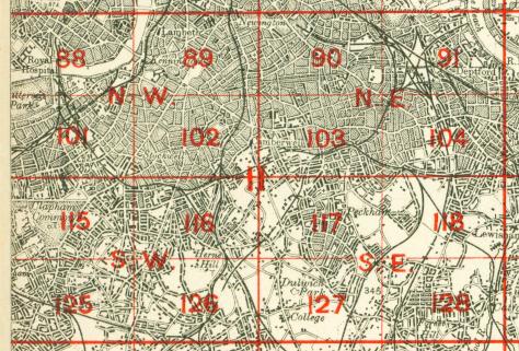
The map links up with London Sheets 102 Camberwell to the north, 115 Clapham Common to the west, 117 East Dulwich to the east, 126 Streatham Hill to the south.
 Follow this link for a complete list of our London maps .