
 Here are the details of maps for Plaistow:

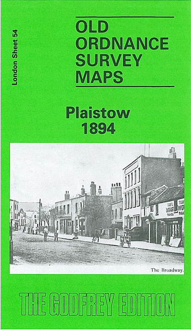
We have published four versions of this map. Each covers the same area, from the East London Cemetery and Geere Road eastward to St Bernards Road; and from Crescent Road and Upton Park station southward to Whitwell Road. Much of the map is part of West Ham UD, but an eastern section is in East Ham. Features(taken from the 1894 map) include Plaistow station and the LTS railway works; High Street, The Broadway, Greengate Street, then a long stretch of the Barking Road, Green Street, Blind Lane; a stretch of the Northern Outfall Sewer; tramways, West Ham smallpox hospital. Many streets are only partly built up in 1894.
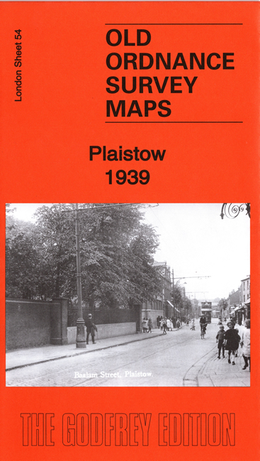
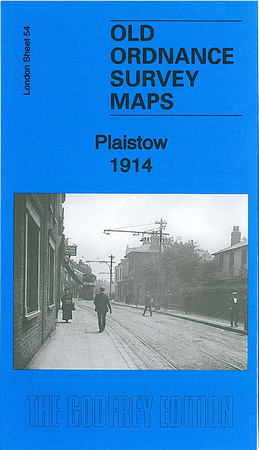
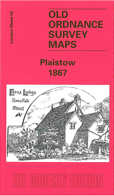
The 1867 map shows Plaistow in its last days as a country village, and provides a fascinating contrast with the later maps. By contrast, the 1914 and 1939 maps show the area almst completely built up.
The maps include extracts from early directories and each includes a specially written introduction to the history of the area.
The map links up with London Sheets 43 Forest Gate to the north, 53 Bow to the west, and 66 Canning Town to the south; and to Essex sheet 86.07 East Ham & Barking South to the east.
 Follow this link for a complete list of our London maps .