
 Here are the details of maps for Kentish Town & Camden:

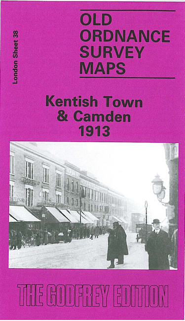
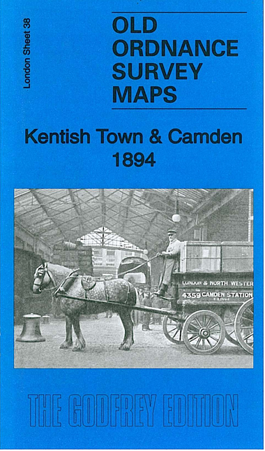
We have published three versions of this map, showing how the area developed across the years. It covers an area stretching from Primrose Hill eastward to Camden Square and Marquis Road; from Leighton Road southward to Preatt Street.
These are very busy maps covering much of Kentish Town, Camden Town and the old St Pancras borough. There are many railway features including the approaches to St Pancras, with Kentish Town and Camden Road stations; the approaches to Euston, including Chalk Farm station, Camden Goods station and engine shed; the North London Railway, with Kentish Town and Camden Town stations; and the GNER engine sheds. Other features include tramways, the Regents Canal, part of Primrose Hill, Maitland Park, Camden Brewery, and countless streets of housing. Streets include Prince of Wales Road, Haverstock Hill, Camden Road, Kentish Town Road, High Street and many more. Some directories extracts are included.
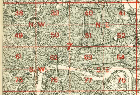
The map links up with Sheets 28 Gospel Oak to the north, 37 Swiss Cottage to the west, 39 Highbury to the east, and 49 Euston to the south.
 Follow this link for a complete list of our London maps .