Old Ordnance Survey Maps of Leicestershire

  • These detailed maps normally cover an area of about one and a half miles by one mile. Each map includes an introduction.
  • They are available through our On-line Mapshop

  • Here are the details of maps for Lutterworth:

  • Leicestershire 49.13 Lutterworth 1902 - published 2023; intro by Barrie Trinder. ISBN.978-1-78721-632-7

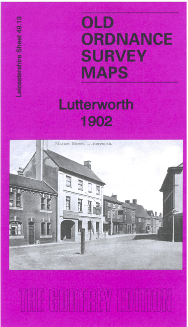
    This detailed map gives very good coverage of Lutterworth. The map is double-sided for maximum coverage and includes part of adjacent sheet 48.16.

    Features include the town centre with individual buildings neatly shown, Lutterworth Union Workhouse, GCR railway with station, St Mary's church, Spital Corn Mill. Coverage also includes Misterton, with St Leonard's church and Misterton Hall, and part of Walcote, including Walcote House. We also include a specially written introduction to the history of the area.


  • Follow this link for a full list of our Leicestershire maps. For other information and prices, and other areas, go to The Index Page.
  • Maps in the Godfrey Edition are taken from the 25 inch to the mile map and reduced to about 15 inches to the mile. For a full list of maps for England, return to the England page.
    The Godfrey Edition / sales@alangodfreymaps.co.uk / 25 August 2023