
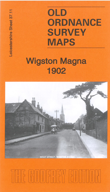
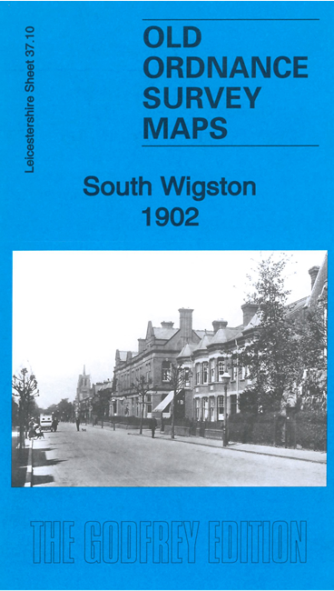
 Here are the details of maps for Wigston:

These two detailed maps link up with each other to provide excellent coverage of Wigston.
The South Wigston map covers South Wigston itself with coverage extending west to Glen Parva and part of Blaby. Features include St Thomas church, Wigston Junction Brickworks, Kirkdale Leather Works, Glen Parva Barracks, Glen Parva Grange, Wigston Foundry, Brunswick Mills, Eagle Works, LNWR South Leicestershire Branch with Glen Parva station, Midland Leicester & Rugby Branch with station, Glen Parva, All Saints church Blaby, Blaby Bridge, Leicestershire & Northamptonshire Canal etc.
The Wigston Magna map covers Wigston Magna. Features include Little Hill area, All Saints church, Wigston Gas Works, Wigston Hall, St Wolstan's church, Water Lees, schools and chapels, The Orchard, Hawthorn Field, Midland Railway with Wigston station, Wigston Sidings, Wigston Junctions, etc.
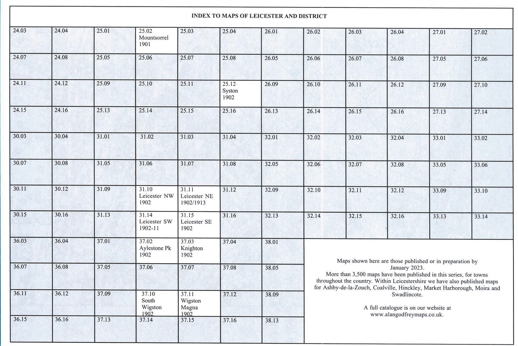
Here is an index map for the Leicester and Wigston maps.