Leicestershire 18.13 Quorn 1902 - published 2023; intro by Barrie Trinder. ISBN.978-1-78721-641-9
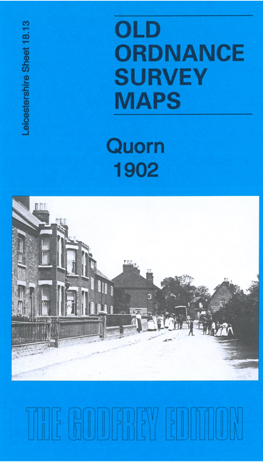
This detailed map gives very good coverage of Quorn or Quorndon.
Features include village centre with individual buildings neatly shown, Quorndon House and grounds, Weir Hosiery Manufactory,
St Bartholomew's church, New Quorndon, chapels, Quorndon Mill etc. Coverage extends west to the Great Central Railway and Quorndon station.
We also include a directory of Quorndon in 1891.
Follow this link for a full list of our Leicestershire maps.
For other information and prices, and other areas, go to The Index Page.
Maps in the Godfrey Edition are taken from the 25 inch to the mile map and reduced to about 15 inches to the mile.
For a full list of maps for England, return to the England page.
The Godfrey Edition / sales@alangodfreymaps.co.uk / 23 March 2023

 Here are the details of maps for Quorn: