Leicestershire 17.06 Shepshed 1901 - published 2023; intro by Alan Lamb. ISBN.978-1-78721-647-1
This detailed map gives very good coverage of the small town of Shepshed.
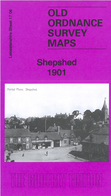
Features include St Botolph's church, hosiery factories, boot & shoe factory, Market Place, Ring Fence, cemetery, line of old canal,
chapels, Bull Ring, town centre shown with individual buildings neatly shown, etc. We also include a directory of the town in 1891.
Follow this link for a full list of our Leicestershire maps.
For other information and prices, and other areas, go to The Index Page.
Maps in the Godfrey Edition are taken from the 25 inch to the mile map and reduced to about 15 inches to the mile.
For a full list of maps for England, return to the England page.
The Godfrey Edition / sales@alangodfreymaps.co.uk / 23 March 2023

 Here are the details of maps for Shepshed: