
 Here are the details of maps for Cheadle north:

We have published two versions of this map, showing how the area developed across the years. The maps cover parts of both Lancashire and Cheshire, to include the northern part of Cheadle. Coverage stretches from Cheadle High Street and Stockport Road northward to Cheadle Bridge and 'The Towers' at Didsbury.
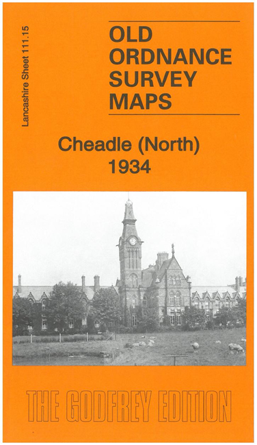
Features include the River Mersey, which meanders across the map; stretches of the Cheshire Lines Railway and LNWR, both with Cheadle stations; and a stretch of the LNWR Wilmslow-Levenshulme line; Cheadle Hall, tramways, St Chad's RC church, Abney Hall, Heaton Mersey Bleach Works, Cheadle Bleach Works, Barnes Convalescent Hospital, Broad Oak Farm etc.
We include a selection of contemporary street directory entries on both maps, together with specially written introductions.
The map links up with sheets 111.14 Northenden to the west, 111.11 Didsbury Heaton Mersey to the north, 111.16 Stockport Edgeley to the south.
Parts of the area are also covered in our Cheshire series.