Old Ordnance Survey Maps of Greater Manchester

  • These detailed maps normally cover an area of about one and a half miles by one mile. Each map includes an introduction.
  • They are available through our On-line Mapshop

  • Here are the details of maps for Wythenshawe and Baguley:

  • Lancs 111.13a Baguley 1916 - published 2020; intro by Chris Makepeace. ISBN.978-1-78721-338-8
  • Lancs 111.13b Baguley 1935 - published 2020; intro by Chris Makepeace. ISBN.978-1-78721-373-9

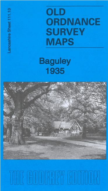
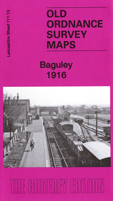
    We have published two versions of this map, showing how the area changed across the years. Though historically within Cheshire, the area became part of Manchester, so the Lancashire series was extended to cover it. The maps cover the area from Lawton Moor Road southward to the Cheshire Lines Railway and Baguley station.

    Features include the railway with station, Royal Oak area, Baguley Hall, Floats Farm, Wythenshaw Park, Wythenshawe Hall, Nan Nook Wood, Sycamore Farm, York House nursing home, nurseries etc.

    The map links up with sheets 111.14 Northenden to the east.


  • Follow this link for a complete list of our Manchester or Salford maps.
  • You can order maps direct from our On-line Mapshop. For other information and prices, and other areas, go to The Index Page.
  • Maps in the Godfrey Edition are taken from the 25 inch to the mile map and reduced to about 15 inches to the mile. For a full list of maps for the North West, return to the North West page.
    The Godfrey Edition / sales@alangodfreymaps.co.uk / 10 November 2020