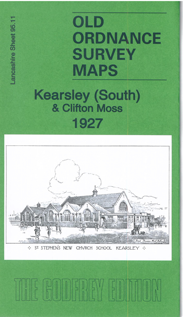
 Here are the details of maps for Kearsley:

We have published two versions of this map, showing how the area changed across the years.
The maps cover the village of Kearsley and the area to the south. Kearsley and Kearsley Green are at the top of the map. Features include St Stephen's church, Manor Cottages, Spindle Point Colliery, a stretch of the Manchester-Bolton railway with branch to colliery and mineral railway, Clifton & Kearsley Colliery Works, Clifton House, Giant's Seat House, Kearsley Moss, Clifton Moss. Linnyshaw Colliery is in the SW corner of map.
On the reverse of the 1907 version is and extract from an 1890 Inch to the Mile map showing the area, annotated with collieries and transport links.
The map links up with Lancashire Sheets 95.07 Stoneclough to the north, 95.10 Walkden North to the west, 95.12 Clifton to the east and 95.15 Wardley to the south.