
 Here are the details of maps for Southport:


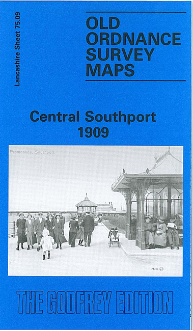
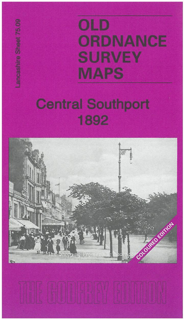
We have published two versions of this map, showing how the area changed across the years. The 1892 version is in full colour, taken from the beautiful 1st Edition OS handcoloured map. The maps cover the central area of Southport, with coverage extending from Westcliffe Road northward to Avondale Road, and from Chapel Street station westward to the shore.
The many features include the pier, Marine Drive, Chapel Street station, Lord Street station, Victoria Park, Market Hall, tramways, recreation ground, Opera House, Convalescent Hosptial, Hydro, Victoria Baths, Lord Street, St Paul's church, St Andrew's church, Town Hall, hotels, Christ Church, Winter Gardens etc.
Sheet 75.05 to the north is included on the 1892 map as a backing map. On the reverse of the 1909 map we include an extract from an Inch to the Mile map for the area, covering Southport northward to Lytham, and southward to Formby, from the mid 19th century.
The map links up with Lancashire Sheets 75.10 Southport East to the east and 75.13 Birkdale to the south.