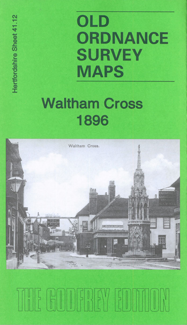
Hertfordshire Sheet 41.12 Waltham Cross 1896 - published 2021; intro by Pamela Taylor. ISBN.978-1-78721-387-6 
This detailed map covers the village of Waltham Cross at the border with Middlesex.
Features include main GER line with station, Cheshunt Line with Theobald's Grove station, Theobald's Square, Boundary House, Castle Tavern,
Holy Trinity church, Theobald's Park etc.
The map links up with Middlesex Sheets 2.16 Enfield Wash to the north.
Follow this link for a complete list of our Hertfordshire Series maps or go to the Chilterns page for other counties in the region.
You can order maps direct from our On-line Mapshop.
For other information and prices, and other areas, go to The Index Page
Maps in the Godfrey Edition are taken from the 25 inch to the mile map and reduced to about 15 inches to the mile.
For a full list of maps for England, return to the England page.
The Godfrey Edition / sales@alangodfreymaps.co.uk / 10 May 2021

 Here are the details of maps for Waltham Cross: