
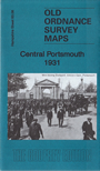
 Here are the details of maps for Central Portsmouth:
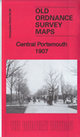
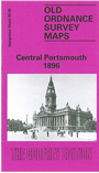

We have published three versions of this map, showing how the area changed over the years.
The maps cover the centre of Portsmouth, with coverage stretching from Anglesey Road and Victoria Park eastward to Milton Road, and from Toronto Road southward to Froddington Road.
Features include railway with Portsmouth Town (today Portsmouth & Southsea) and Fratton stations, engine shed, Portsea Island Union Workhouse, Landport area, Fratton Ward, St Mary Ward, Charles Dickens Ward, part of Townhall Ward, Town Hall, Drill Hall, St Mary's church, Kingston area, tramways, Buckland area, Kingston Cemetery, RC Cathedral, Royal Portsmouth Hospital, Portsea Island Gas Works, and many streets of terraced housing with each house neatly mapped. Please note that the dockyard area is left blank for security reasons on the 1896 map, but only partly blank on the 1931 version.. We include extracts from contemporary street directories on the reverse.
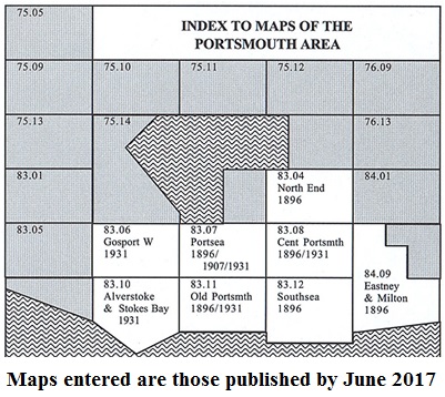
The map links up with Hampshire Sheets 83.04 Portsmouth North End to the north, 83.07 Portsea to the west, 84.09 Eastney to the east and 83.12 Southsea to the south.
You might find this Index Map useful.