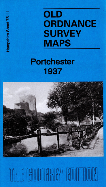
Hampshire 75.11 Portchester 1937 - published July 2020; intro by Tony Painter. ISBN.978-1-78721-336-4 
This detailed map of Portchester is double-sided for maximum coverage.
The main map covers the village of Portchester, including New Town, Methodist church, Trafalgar Wharf, etc, with coverage extending east to
Portsmouth Racecourse, Paulsgrove and Paulsgrove Halt.
On the reverse we include a large part of adjacent sheet 75.15 extending coverage south to include Portchester Castle, St Mary's church and part of Horsea Island.
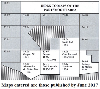
The map links up with Hampshire Sheets 75.12 Cosham to the east.
You might find this Index Map useful.
Follow this link for a complete list for Portsmouth maps, or follow these links for the rest of Hampshire, or Isle of Wight.
You can order maps direct from our On-line Mapshop.
For other information and prices, and other areas, go to The Index Page.
Maps in the Godfrey Edition are taken from the 25 inch to the mile map and reduced to about 15 inches to the mile.
For a full list of maps for England, return to the England page.
Alan Godfrey Maps, Prospect Business Park, Leadgate, Consett, Co Durham, DH8 7PW / sales@alangodfreymaps.co.uk / 22 June 2020

 Here are the details of maps for Portchester: