
 Here are the details of maps for Alton:

This detailed map gives good coverage of Alton.
Features include town centre with individual buildings neatly shown, railway with station, Anstey Mill, St Lawrence's church, All Saints church, cemetery, Friends Meeting House, Town Hall, two breweries, Ashdell, Alton Paper Mill, Amery, Assembly Rooms, Alton Union Workhouse, etc. Extracts from an 1899 directory are included on the reverse.
Further information:
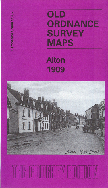
Alton, well known to railway enthusiasts as the starting point for the Watercress Line, prospered from its position on the London-Winchester road, but suffered when the main line railway went via Basingstoke. However, it became an important brewing town, with two major brewers, Crowley's and Hall's, though the latter had been bought out by Courage in 1903. The town has several good buildings, strung out along its principal street, with Assembly Rooms a highlight, and a fine church and early Friends Meeting House just set back. Alton once had its own urban district but since 1974 has been in East Hampshire District.