Old Ordnance Survey Maps of Glamorgan

  • These detailed maps normally cover an area of about one and a half miles by one mile. Each map includes an introduction.
  • They are available through our On-line Mapshop

  • Here are the details of maps for Morriston:

  • Glamorgan 15.09 Morriston 1913 - published 2021; intro by Steph Mastoris. ISBN.978-1-78721-406-4

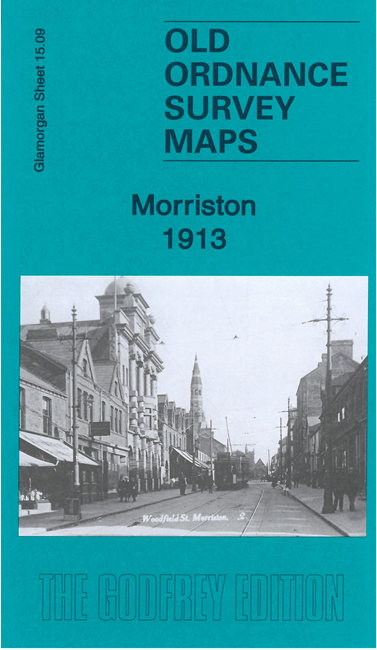
    This busy and detailed map covers the Morriston area, north of Swansea.

    Features include railway with Morriston station, centre of Morriston with individual buildings neatly shown, Pentre Poeth, Morriston Park, Clyn-Du, Cwm-Bath, tramways, St David's church, chapels, Picture Theatre, Cae-Mawr, Mynydd-bach, Morriston Cemetery, etc.

    We include extracts from a contemporary directory together with a specially written introduction

    The map links up with sheet 15.10 Llansamlet to the east and 15.13 Landore to the south.


  • Follow this link for a complete list of our Glamorgan maps. For other information and prices, and other areas, go to The Index Page.
  • Maps in the Godfrey Edition are taken from the 25 inch to the mile map and reduced to about 15 inches to the mile. For a full list of maps for Wales, return to the Wales page.
    The Godfrey Edition / sales@alangodfreymaps.co.uk / 15 July 2022