Old Ordnance Survey Maps of Fife

  • These detailed maps normally cover an area of about one and a half miles by one mile. Each map includes an introduction.
  • They are available through our On-line Mapshop

  • Here are the details of maps for Markinch:

  • Fife Sheet 28.01 Markinch 1893 - published 2019; intro by Alan Godfrey. ISBN.978-1-78721-211-4

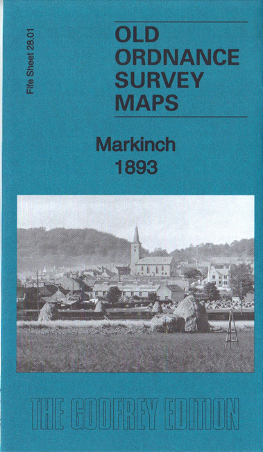
    This very detailed map is double-sided for maximum coverage. The north map covers the parish church and old town centre and extends to Balbirnie House; the south map covers the southern part of the town, including the railway station, and extends westward to Balbirnie Mills.

    Features include town centre with individual buildings neatly shown, parish church, railway with station, Leslie Branch, Balbirnie Mills, Balbirnie Woollen Mills, Sythrum Mill, Balgonie Bleachfield, Balgonie Engines, Town Hall, Brunton House, etc.


  • Follow this link for a complete list of our Fife maps.
  • You can order maps direct from our On-line Mapshop. For other information and prices, and other areas, go to The Index Page.
  • Maps in the Godfrey Edition are taken from the 25 inch to the mile map and reduced to about 15 inches to the mile. For a full list of maps for Scotland, return to the Scotland page.
    The Godfrey Edition / sales@alangodfreymaps.co.uk / 9 February 2019