
 Here are the details of maps for Billingham:

This very detailed map covers the old village of Billingham, with St Cuthbert's church and The Green in the top left corner. Coverage then extends south to the Billingham Beck and east to Haverton Hill Road and the Billingham Beck railway line. However, much of the map is taken up with the extraordinary industrial complex of ICI - Imperial Chemical Industries - which ran east from Chiltons Avenue. Billingham by 1939 was very much a company town. (The new town centre will be on a later map for Billingham North). The map is therefore crowded with railway tracks, gasometers and unidentified industrial plant. We also include an historical introduction to Billingham from a 1894 map (when the town was a village) and a directory of the town in 1934.
The map links up with Sheet 50.08 Norton to the west.
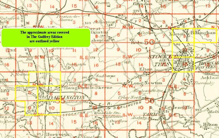
You might find this index map useful.