Old Ordnance Survey Maps of County Durham

  • These detailed maps normally cover an area of about one and a half miles by one mile. Each map includes an introduction.
  • They are available through our On-line Mapshop

  • Here are the details of maps for Bishop Middleham:

  • Co Durham Sheet 35.15 Bishop Middleham & Mainsforth Hall 1896 - published 2007; intro by David Butler. ISBN.978-1-84784-008-9

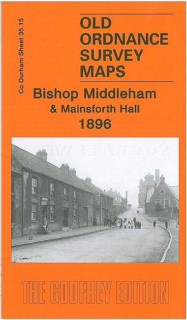
    This very detailed map covers the village of Bishop Middleham, including Brewery, Old Hall, St Michaels church. Coverage extends westward to Mainsforth Hall. A directory of Bishop Middleham from Whellan's 1894 directory is included on the reverse. Unusually for Co Durham, this map is largely rural with no collieries. Mainsforth Hall is famous as home to Durham's great historian Robert Surtees.

    The map links up with sheet 35.14 Ferryhill Station to the west.


  • Follow this link for a complete list of our Durham maps. For other information and prices, and other areas, go to The Index Page.
  • Maps in the Godfrey Edition are taken from the 25 inch to the mile map and reduced to about 15 inches to the mile. For a full list of maps for England, return to the England page.
    Alan Godfrey Maps, Prospect Business Park, Leadgate, Consett, Co Durham, DH8 7PW / sales@alangodfreymaps.co.uk / 19 April 2022