
 Here are the details of maps for Spennymoor:

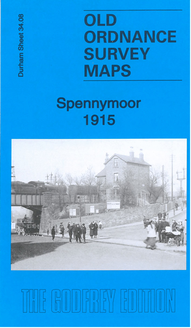
This detailed map of Spennymoor is double-sided for maximum coverage.
The main map covers the centre of the town and the area westward to Whitworth Hall. Features include town centre with individual buildings neatly shown, railway with Spennymoor station, Tudhoe Grange, Grand Hotel, Town Hall, picture theatres, chapels, Victoria Jubilee Park, North Eastern Hotel, Whitworth Park Colliery (disused), NER Page Bank branch, Whitworth House, Bishop's Close Colliery (disused), Whitworth Hall, Whitworth Park.
On the reverse we include a good section of adjacent sheet 34.12 covering the area to the south, including St Paul's church, Spennymoor House.
The map link up with sheet 35.05 Tudhoe Grange to the east.